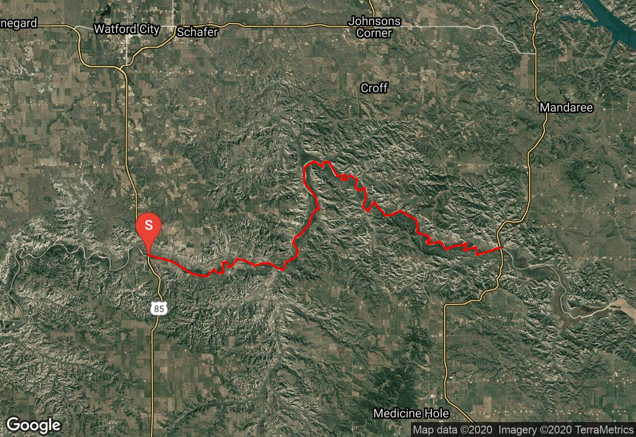
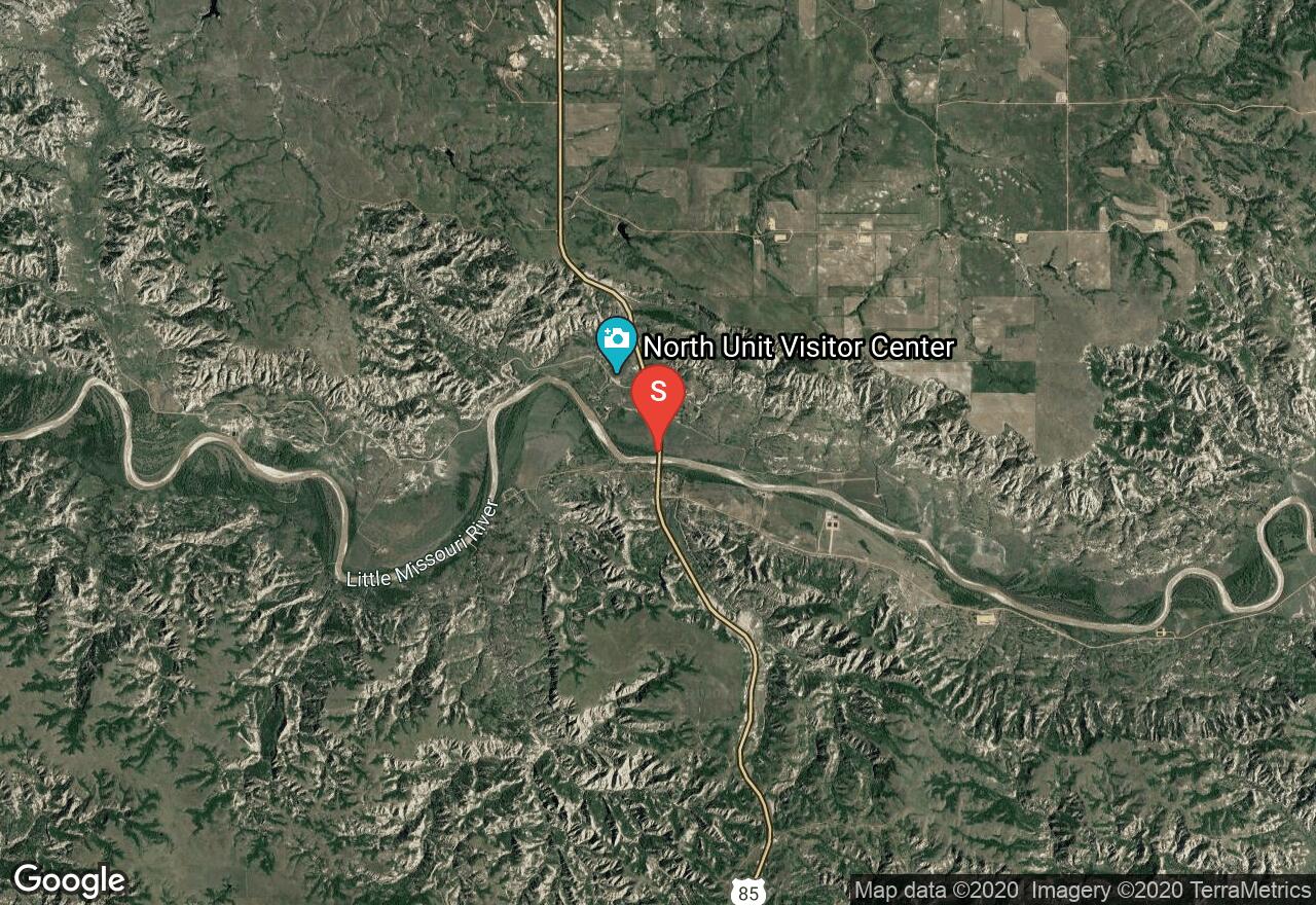
Little Missouri River: Hwy 85 to Hwy 22
McKenzie County, North Dakota
Uploaded by Bivy Team
VIEW MAP
17 :50 hrs
42.1 mi
92 ft
I
Kayaking
Canoeing
The Little Missouri River flows through the badlands of North Dakota in remote terrain. May and June are the best months to float but before you float be sure to check water levels. The river level changes rapidly and a depth of at least 2.5 feet is required for enjoyable paddling. All campers must follow leave no trace principles. This section flows through Little Missouri National Grassland Park. Begin at Hwy 85 bridge and takeout at Hwy 22.
2 photos
Get the app

